
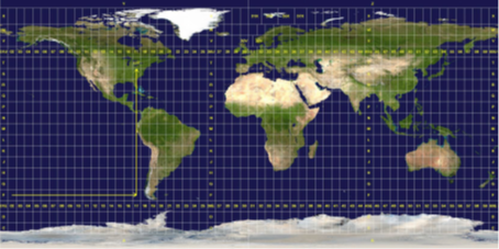
The Computer Sciences course applied to geosciences introduces digital and computational tools used for the management, analysis, and spatial representation of data. It covers Geographic Information Systems (GIS) as essential instruments for mapping and modeling natural phenomena, along with the fundamental concepts of geodesy, which define the shape and dimensions of the Earth. The module also addresses map projection systems and geodetic and coordinate systems, which are crucial for the accurate positioning and representation of spatial data. Finally, particular emphasis is placed on thematic maps, which serve as powerful tools for visualizing, interpreting, and communicating geographic information across various scientific and technical fields.
- Enseignant: Idir Menad HOUARI